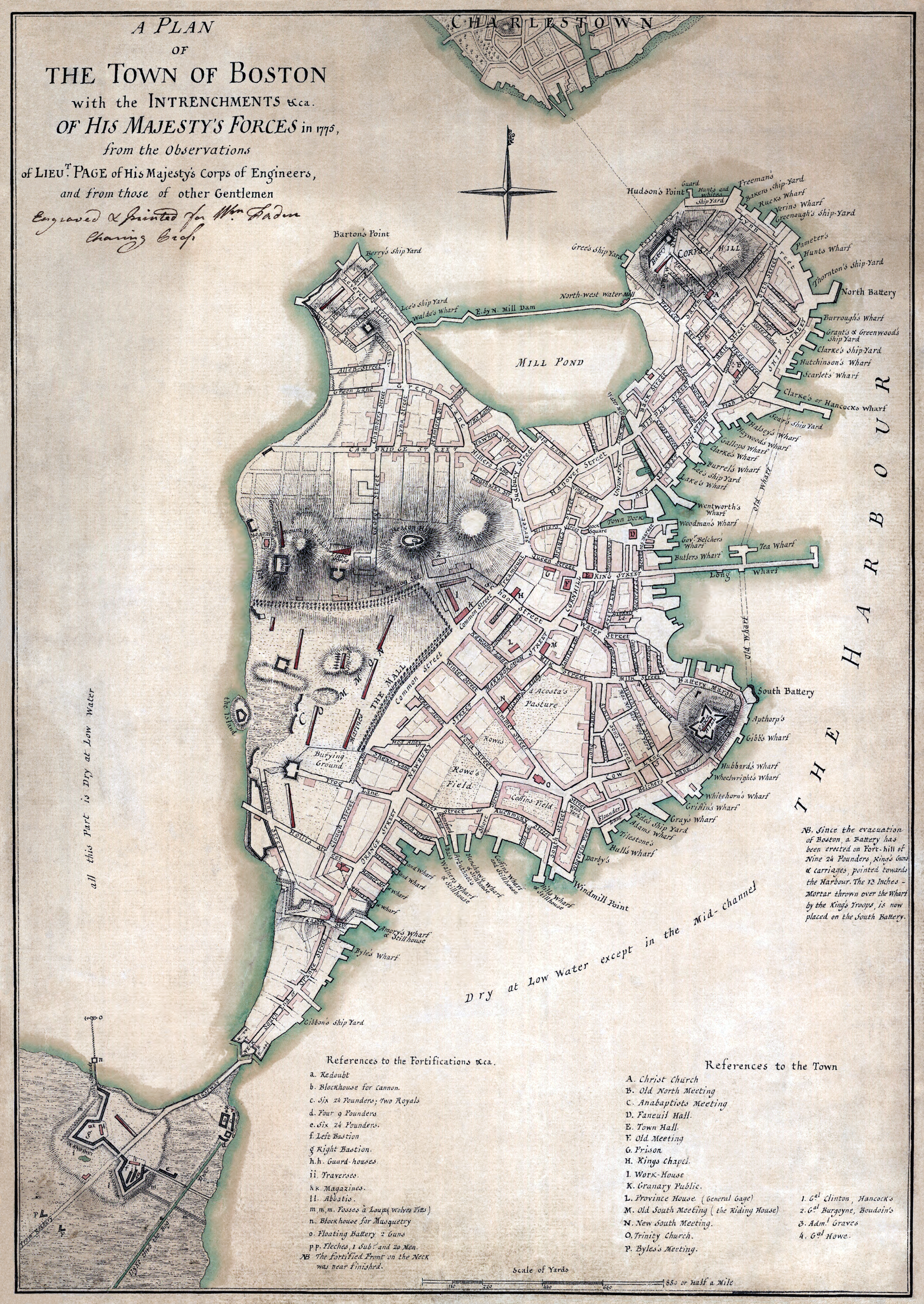
 Go on Google Maps some time and check out modern Boston. Then open this up and compare them. Use Corps Hill (now Copps Hill) as a reference point; you will need it. You'll be amazed by how much has changed. Boston has gotten a little bigger over the years, but this is where it all started.
The map was published in 1775, so it, too, has fallen out of any right of ownership. Share with your friends, and maybe they'll begin to understand why they hate driving in Boston, too!
As Blogger has an image size limit, you can click the link below to get a properly navigable image of this map. It's almost as good as stepping in the Revolutionary horse droppings yourself!
Map: http://upload.wikimedia.org/wikipedia/commons/3/36/Boston%2C_1775bsmall1.png
No comments:
Post a Comment